
Line 2 Info
- Network Santiago Metro
- Operation Started 1978
- Total Length 25.9 km
- Total Stations 26
Terminals
From
Vespucio Norte
To
Hospital El Pino
Line 2 Overview
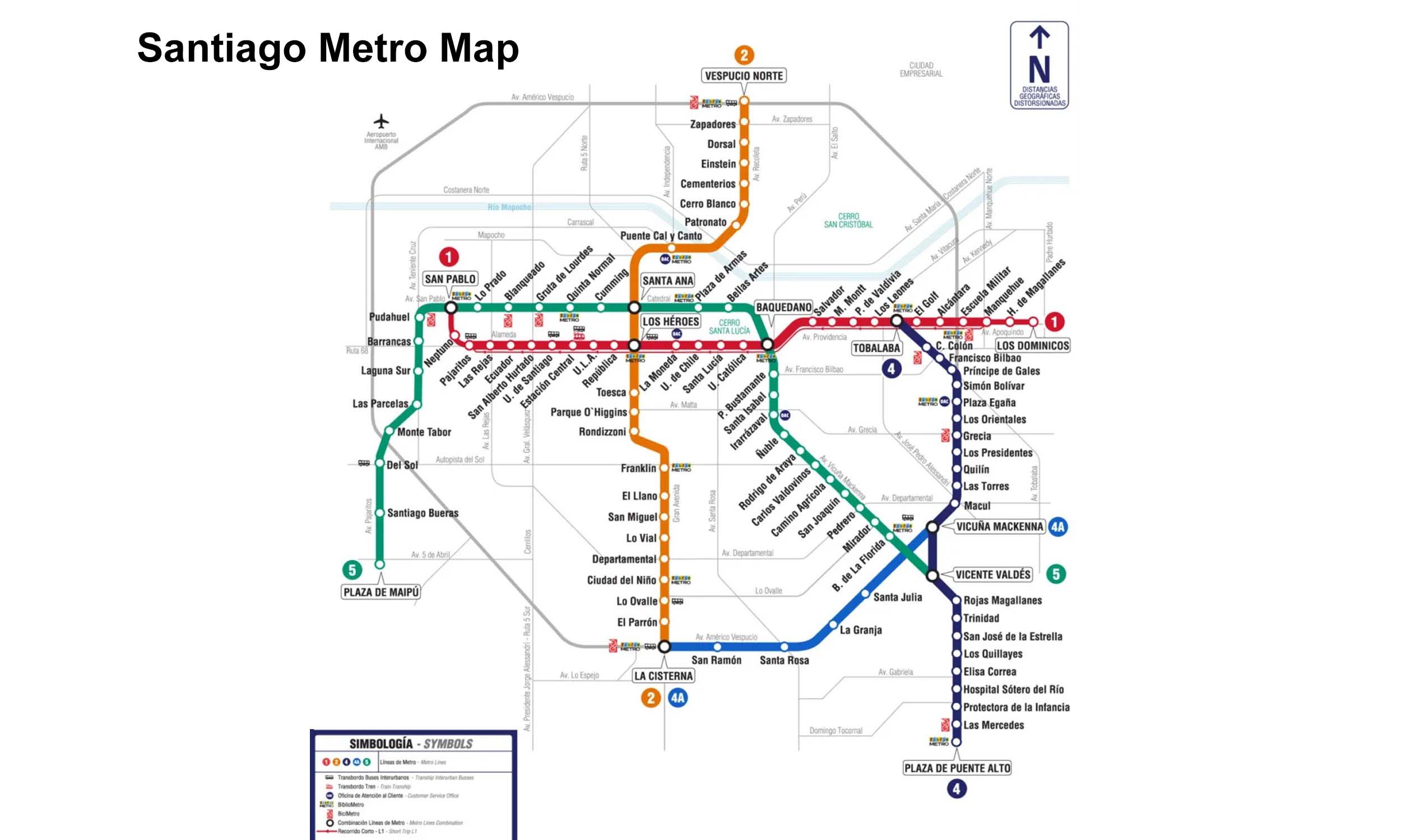
Santiago Metro Line 2, running from Los Héroes to Franklin, opened its first phase on March 31, 1978. The line was extended northward to Vespucio Norte and southward to La Cisterna in stages, covering approximately 26.7 km and serving 22 stations. It serves as a north-south corridor and includes interchange stations such as Los Héroes and Franklin.
Santiago Metro Map 2026
Click to expand
Other Lines in Santiago Metro
Frequently Asked Questions — Line 2
Line 2 has 26 stations on the Santiago Metro network.
Line 2 runs between Vespucio Norte and Hospital El Pino.
Line 2 is approximately 25.9 km long.
Line 2 opened in 1978.
Line 2 is a Metro line operated under Santiago Metro.
Line 2 is part of the Santiago Metro transit network.