
U7 Line Info
- Network Munich U-Bahn Metro
- Total Length 31.8 km
- Total Stations 40
Terminals
From
Rathaus Spandau
To
Rudow
U7 Line Overview
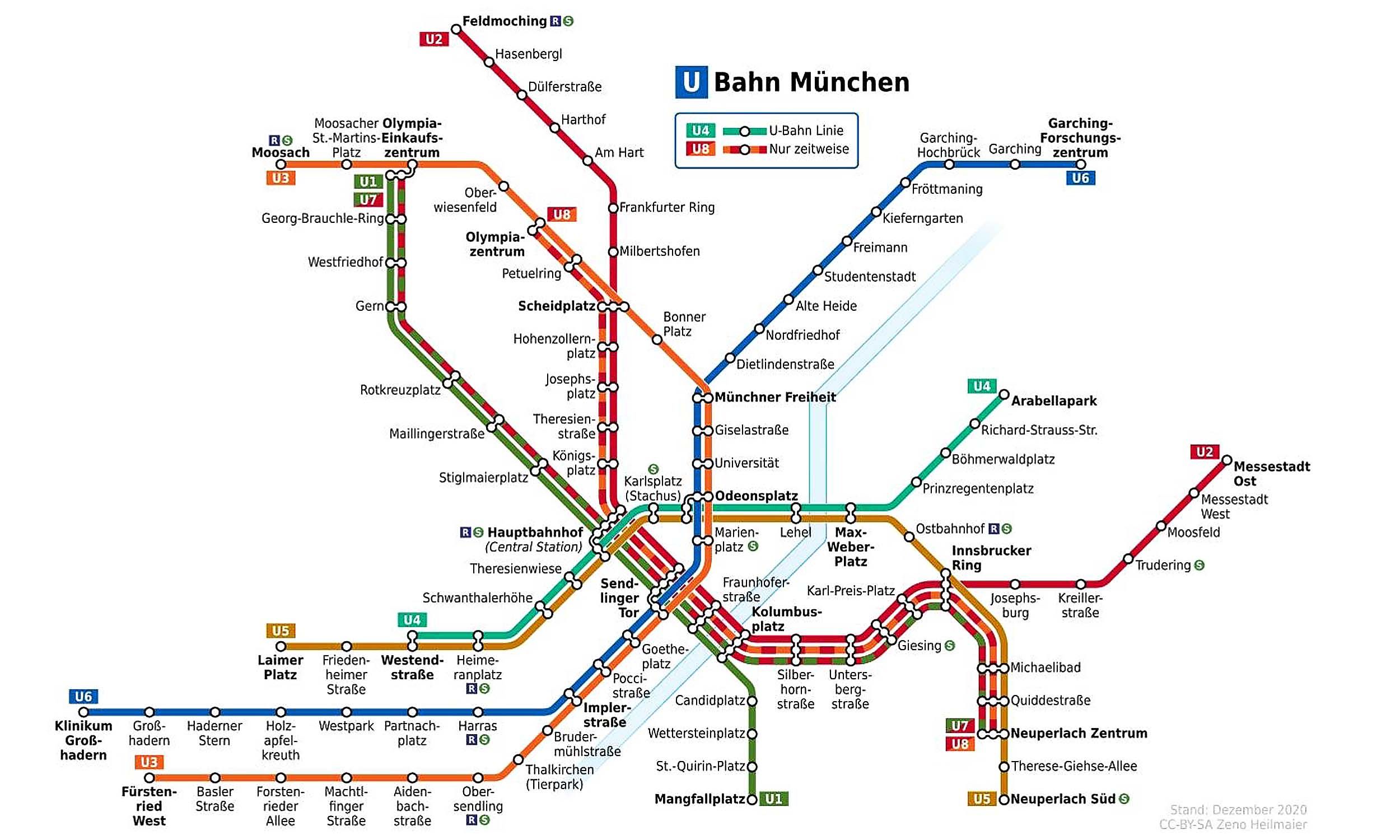
The U7 line is a peak-hour additional service introduced in 1988. It operates on shared sections of the U1, U2, and U5 corridors to increase capacity during rush hour. Although it doesn't run all day, it plays a vital role in reducing congestion on some of Munich's busiest metro sections.
Munich U-Bahn Metro Map 2026
Click to expand
Other Lines in Munich U-Bahn Metro
Frequently Asked Questions — U7 Line
U7 Line has 40 stations on the Munich U-Bahn Metro network.
U7 Line runs between Rathaus Spandau and Rudow.
U7 Line is approximately 31.8 km long.
U7 Line is a Metro line operated under Munich U-Bahn Metro.
U7 Line is part of the Munich U-Bahn Metro transit network.